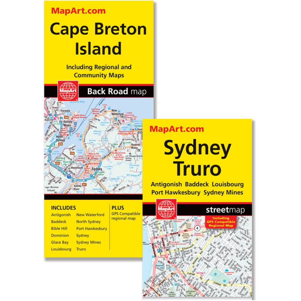
Cape Breton/Syd/Truro Road Map
Cape Breton/Syd/Truro Road Map
SKU:10560|EACH
Couldn't load pickup availability
BARCODE:
MapArt folded maps have been the trusted standard for years, offering unbeatable accuracy and reliability at a great price. Detailed indices make for quick and easy location of destinations. It's a must-have for anyone travelling, working or living in Cape Breton Island.
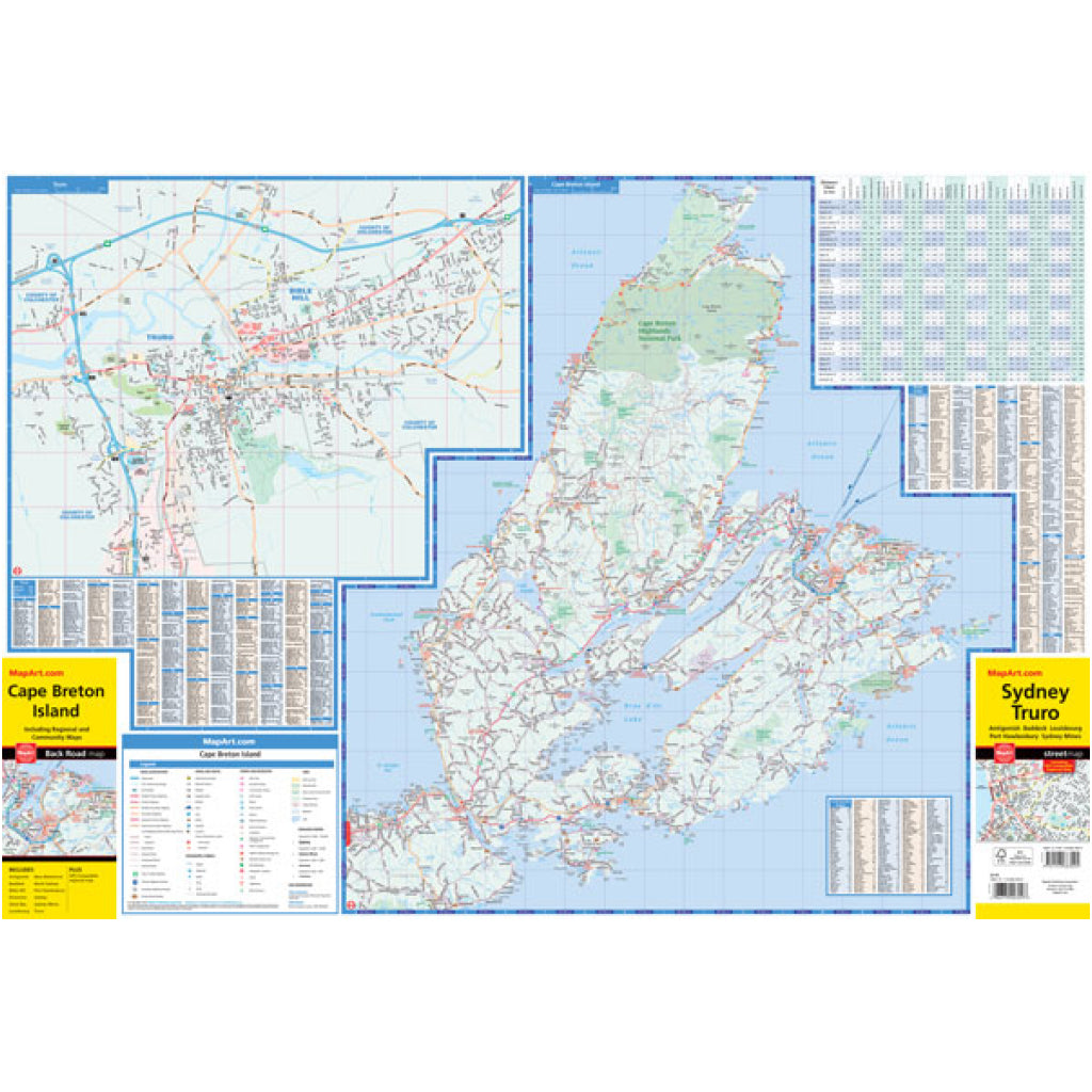
The detailed regional road map of Cape Breton Island includes roads, ferries, national parks, provincial parks, national historic sites, whale watching, points of interest, viewpoints/lookouts, bird watching, lighthouses, waterfalls and more.
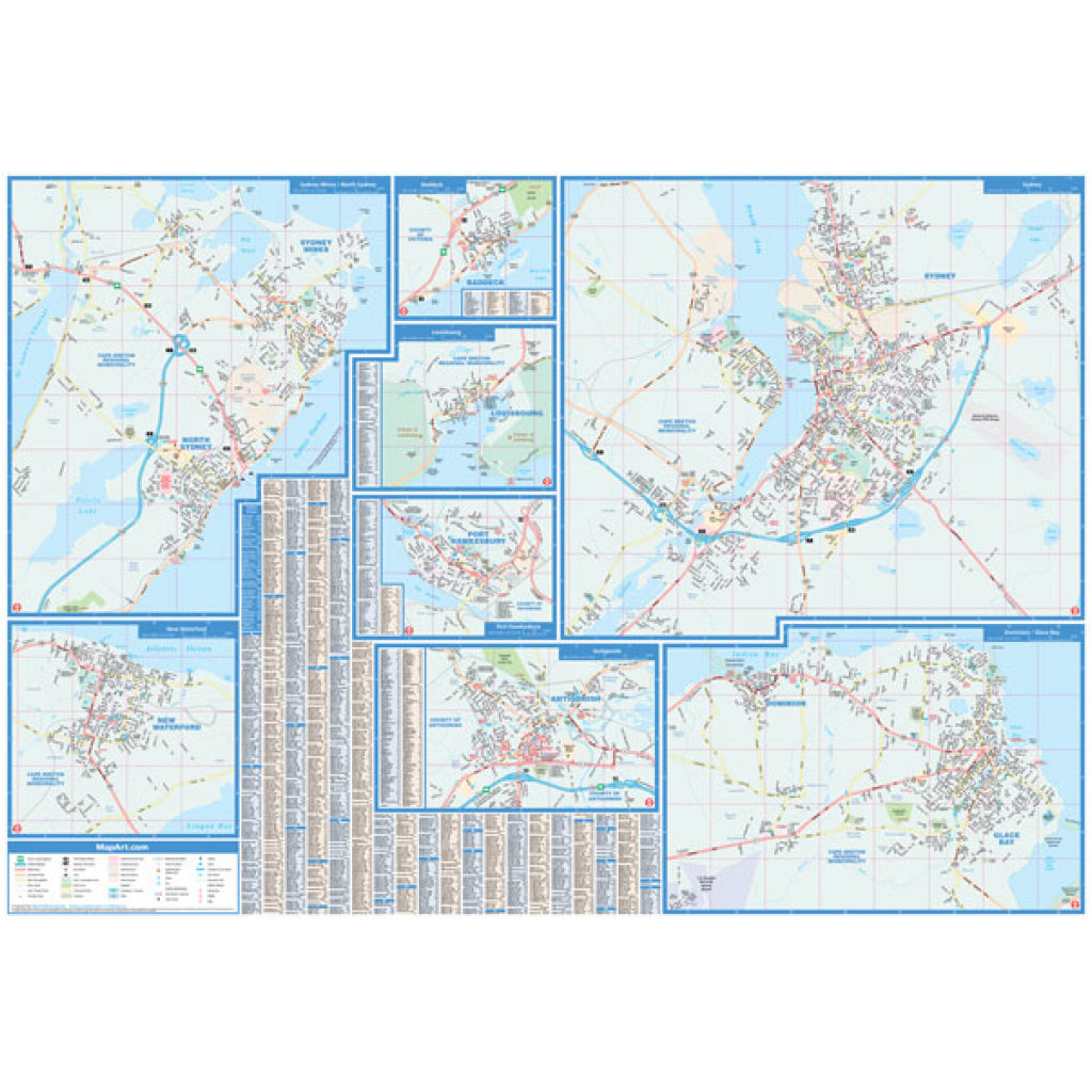
Also included are city maps at a scale of 1:25,000 of Antigonish, Baddeck, Bible Hill, Dominion, Glace Bay, Louisbourg, New Waterford, North Sydney, Port Hawkesbury, Sydney, Sydney Mines and Truro. The detailed city mapping has many features such as roads, parks, golf courses, hospitals, arenas, schools, ferries, tourist information centres, historic sites and more.
Indexes, distance chart and legends for the regional map and city maps are handy references.
Proudly made in Canada